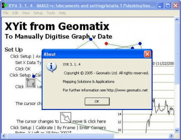
XYit captures xy coordinates from images of graphs and maps, providing you with the original co-ordinates of points and line features.
You can also do the reverse - plotting xy points back onto an image - for showing proposed traffic routes, boundary changes etc. This unique program is an invaluable tool for image analysis, graphing, charting and mapping & plotting .
Main Features:
- Graphs: Scientific & Engineering, Linear, Logarithmic, Date Axis
- Maps: Northing & Easting, Latitude & Longitude, Mercator or Equiangular
- Plans: XY
- Charts: Financial
- Corrects for image stretch, squash & rotation
Comments